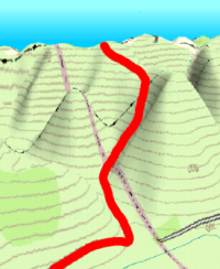
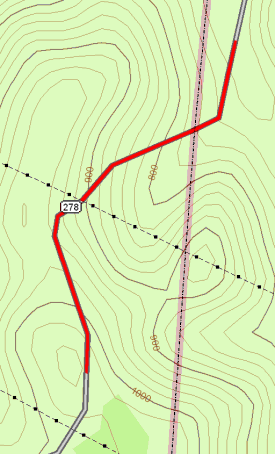
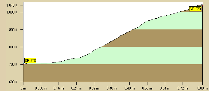
2.5 miles from Nelsonville going Southwest on State Route 278 away from Highway 33 there is a good test. There is no advance warning of Lick Run Hill. The road ominously hugs the Hocking River Valley for a long as possible and just as you are about to enter Hocking County the road turns sharply to the right and you are met by a monster.
If you are brave you will sprint for the county line marker that is .2 of a mile into the hill. But sprinting may be foolhardy as you will have to climb through a double "S" turn at a 19% grade followed by grinding .3 of a mile at a 9% grade. Think you will be rewarded with a nice long down hill? Guess again. Route 278 is an undulating paved ribbon for the next 4.5 miles. Just keep kicking. Just keep kicking. Just keep kicking.
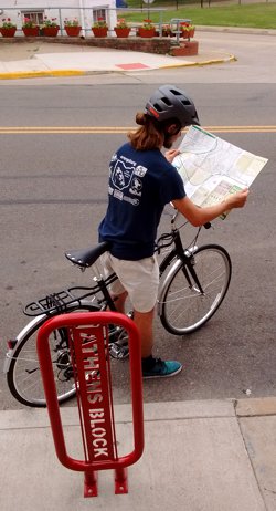
Cycle Path recommends wearing ahelmet, obeying all traffic laws and riding within your limits.