


Products
Your Cart
| 0 Product(s) in cart |
| Total $0.00 |
| » Checkout |
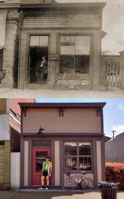
The Buchtel Wall
|
|
||||||||||||||||||||||||||


Best Bargains
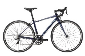
Liv Avail 3
$634
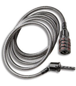
Kryptonite Keeper 512 Combination Cable
$9.99
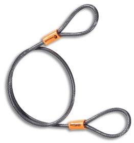
$9.99
$29.99
Shop Brands We Love


